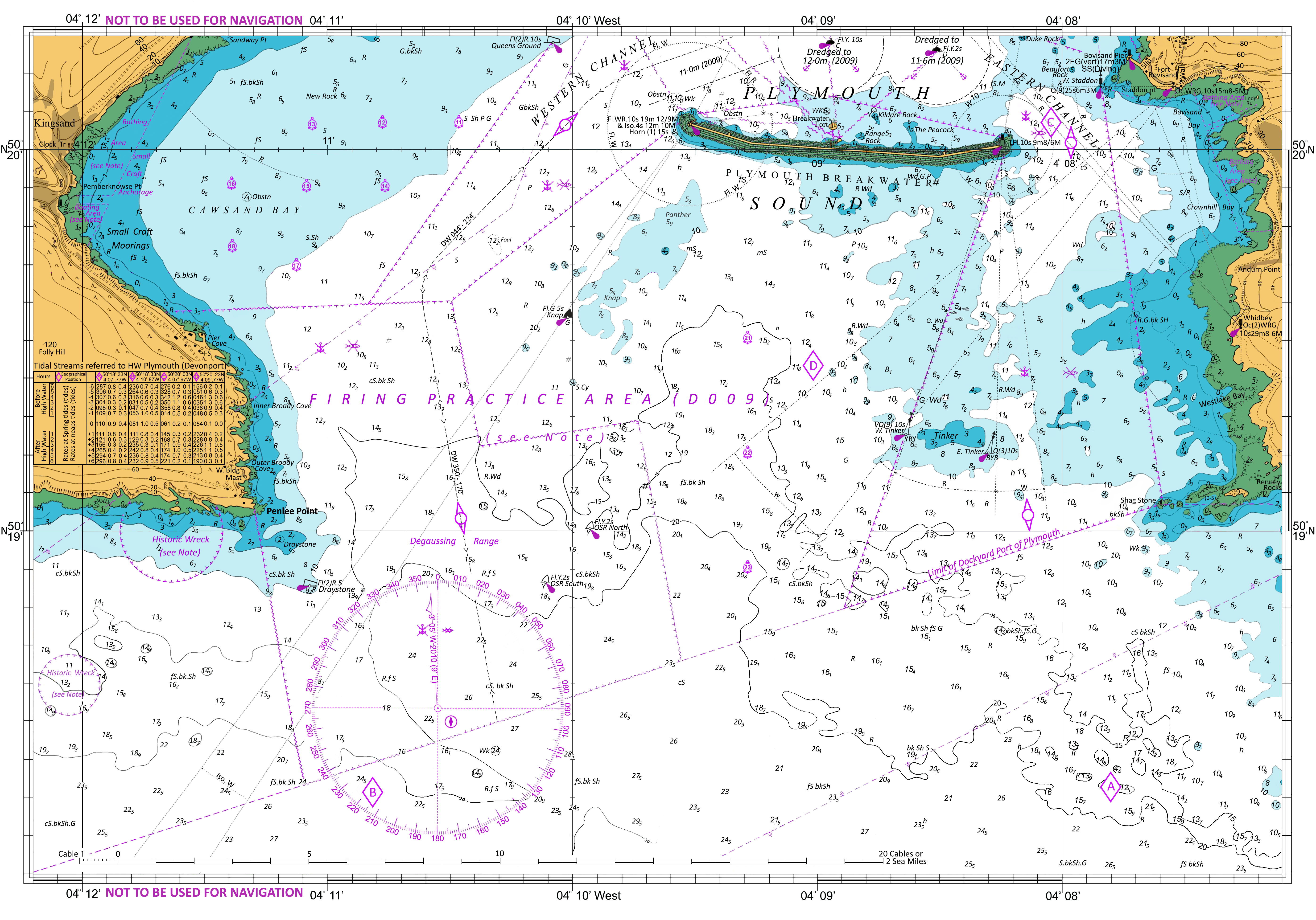
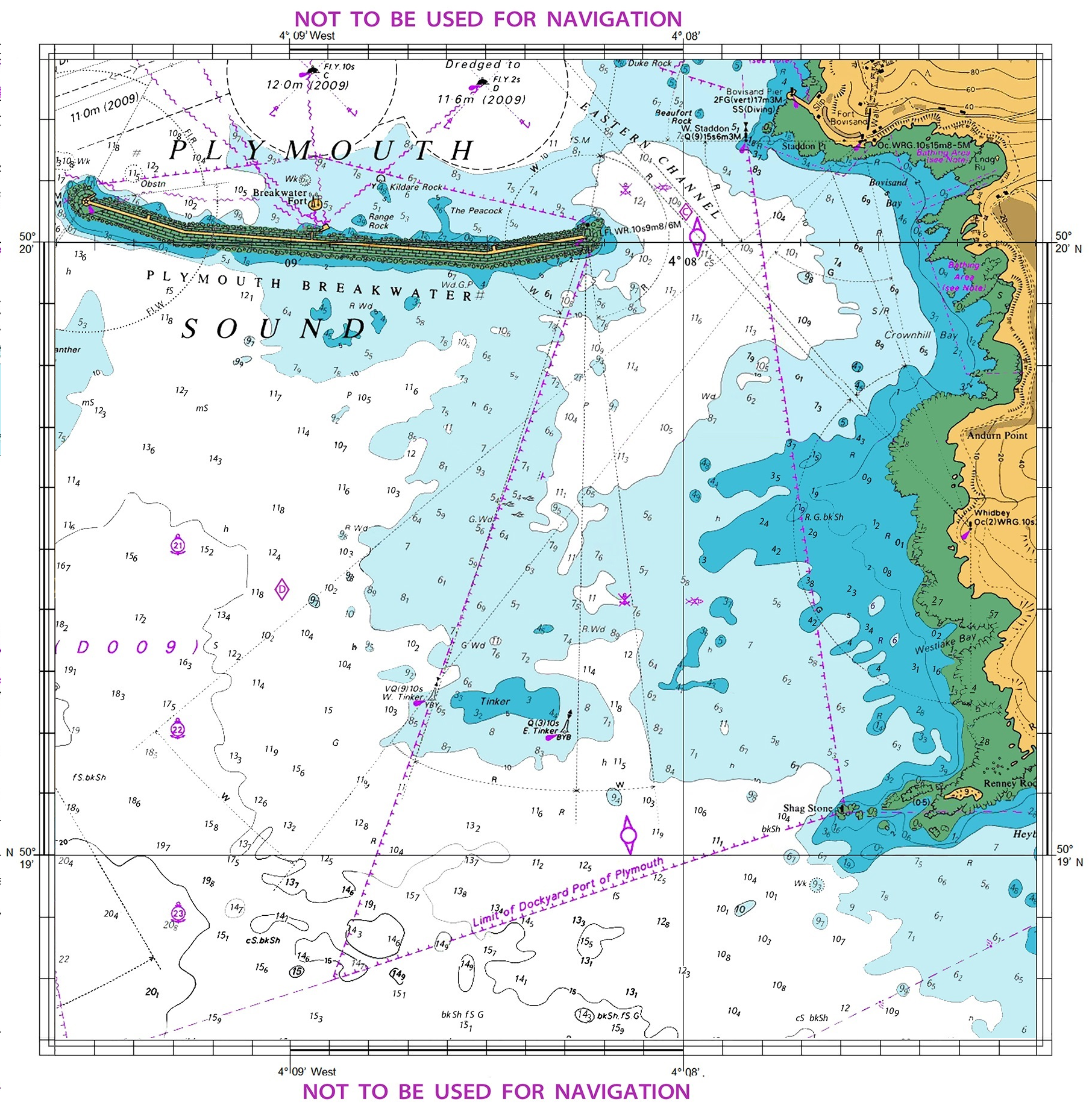
Navigation charts provide a detailed display navigation marks and aids, land masses, depth, and hazards in fact there is a wealth of information available and it is covered in the course material.


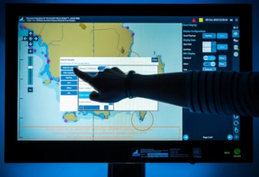
Most navigation is done using electronic charts, on an electronic chart plotter. However, understanding how to use paper charts is essential.
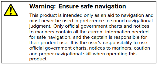
Chart plotters issue a clear warning that their equipment is only an aid to navigation and to be used along side official charts and notices to mariners.

There are several different forms of electronic charts.
Raster charts are simply high definition scans of paper charts designed to work seamlessly on a chart plotter.
The symbols, colour and information presented on the raster chart are
identical to paper charts.
They are widely available and provide a cost effective way to convert
information into an electronic format.
Note: Zooming in on raster charts distorts the image!

Raster charts do not have the capacity to store additional information that can be accessed by the user.
Vector charts contain data layers allowing the user to display more or less information, and query specific points to access more detail.
When zooming in, using electronic vector charts, more information appears, whereas on raster charts the same image gets bigger.
Electronic vector charts have the facility to provide warning alarms if you approach hazards or waypoints.
Note: Zooming in on vector charts increases detail!

Official ENC charts can be displayed on a computer using an offical viewer.
Larger commercial vessels use equipment known as ECDIS. They are expensive and designed for marine navigation without the use of paper charts.

Electronic charts have one major drawback. They are reliant on your electrical supply and marine electronics can fail so, skippers should keep up their traditional navigation skills.
Most jurisdictions now plan to offer charts online allowing skippers to print charts from official sources specific for an area providing an alternative to electronic charts.